The Night the Arctic Went Quiet
I stepped off the regional train at a deserted siding in northern Sweden, the air so cold it felt like inhaling tiny shards of glass. The scent of burning birchwood and damp wool clung to my heavy parka. Behind me, the train's red taillights dissolved into the pine-scented dark, leaving me in a silence so profound I could hear the rhythmic crackle-crunch of my boots on dry, crystalline snow.
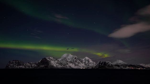
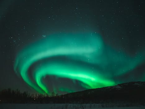
To my left, a frozen lake stretched out like a sheet of hammered steel. I looked up. No glowing smartphone screens. No idling diesel engines from a fleet of 50-seater tour buses. Just the deep, velvet ink of the polar night, suddenly sliced open by a ribbon of neon-green light that shimmered, folded, and danced across the sky.
```
_..._
.-' '-. [THE AURORA BELT]
/ _ \ 66°N - 69°N: The Sweet Spot for Solo Hunters
| ( ) | No idling buses. No light pollution.
\ ` / Just raw, unadulterated Arctic wilderness.
'._ _.'
`---`
```
For years, the Northern Lights have been victimized by their own beauty. Popular viewpoints near Tromsø and Reykjavik have transformed into chaotic parking lots filled with hundreds of tourists stepping on each other's tripods.
But it doesn't have to be that way. By analyzing VIIRS (Visible Infrared Imaging Radiometer Suite) satellite data, local road-weight restrictions, and microclimate cloud patterns, we have mapped out the ultimate, crowd-free aurora sanctuaries.
These are the definitive Northern Lights spots without tour buses, according to recent data.
---
1. Grotfjord, Kvaløya (Norway): The Sandy Beach Mirror
```
[Tromsø] ----(Fv862)----> [Henrikvik] ----(Fv57 - Weight Restricted)----> [Grotfjord Beach]
▲ (No Tour Buses Allowed!)
```
Why the Buses Can't Get Here
While the massive tour operators in Tromsø pack their double-decker coaches and head south toward Laksvatn or east toward the Finnish border, they completely bypass the rugged coast of Kvaløya island.
The reason is simple: the Fv57 road to Grotfjord is narrow, winding, and features a bridge with a strict weight limit that prevents commercial coaches from crossing. Furthermore, the steep rockfall nets along the fjord wall terrify transport managers.
The Data-Backed Advantage
According to Norwegian meteorological microclimate data, Kvaløya’s outer coast benefits from a unique "coastal clearance" phenomenon. When warm ocean air hits the steep 1,000-meter peaks of the island, it often forces clouds to dump their moisture on the windward slopes, leaving the deep fjords like Grotfjord completely clear.
The Experience
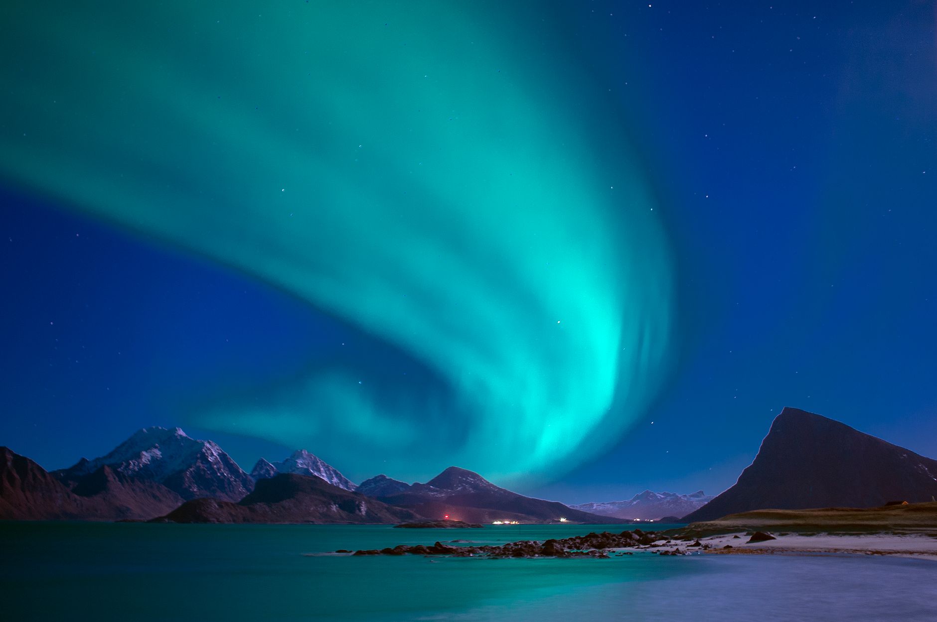
Stand on the fine, black volcanic sand of Grotfjord beach. The Atlantic waves lap gently at your boots, smelling of salt and kelp. When the aurora flares, the wet, reflective sand acts as a giant mirror, doubling the green and purple light dancing above you.
- The Hidden Spot: Don't park in the tiny village. Drive exactly 1.2 kilometers past the houses to the northern headland. There is a small gravel turnout behind a red fishing hut. Walk 50 meters down to the rocks for an unobstructed view of the open sea.
- Local Flavor: Stop by the local supermarket in Eidkjosen on your way out and grab a pack of Lefse (traditional sweet flatbread with cinnamon butter) and a thermos of black coffee.
---
2. Siglufjörður (Iceland): The Troll Peninsula Escape
```
[Greenland Sea]
▲
[Siglufjörður] ◄--- (Single-Lane Tunnels)
/ \
/ \
[Dalvík] [Hofsós]
```
Why the Buses Can't Get Here
Siglufjörður sits at the northernmost tip of the mountainous Troll Peninsula. To get here from Akureyri, you must navigate three single-lane mountain tunnels with passing bays (the Strákar and Héðinsfjörður tunnels). During winter, sudden snow drifts and high winds make these tunnels a nightmare for large vehicles. Tour operators simply refuse to risk their schedules on this route.
The Data-Backed Advantage
VIIRS satellite light-pollution maps show Siglufjörður as a tiny blip of light surrounded by thousands of square kilometers of absolute, grade-1 dark sky on the Bortle scale. Because it faces directly north over the open Greenland Sea, there is zero light pollution between you and the North Pole.
The Experience
This historic herring-packing town feels like a movie set, with its colorful corrugated-iron buildings reflecting in the calm harbor waters. The air here smells of clean snow and dry salt-fish.
- The Hidden Spot: Walk past the Herring Era Museum to the old harbor pier. Walk right to the end where the yellow harbor light is shielded by a concrete wall. Look north over the fjord.
- Pro-Tip: If the wind picks up, seek shelter behind the wooden walls of the harbor sheds. Warm up afterward at Kaffi Rauðka with a steaming bowl of traditional Icelandic lobster soup.
---
3. Björkliden’s "Red Bridge" (Sweden): The Nuolja Shadow
```
[Abisko Tourist Station] (Crowded!) --- (6 km West on E10) ---> [Björkliden] ---> [The Red Bridge]
▲ (Pedestrian Only)
```
Why the Buses Can't Get Here
Abisko National Park is world-famous for its "Blue Hole" (a microclimate of clear skies). However, this fame means the main STF Abisko Mountain Station parking lot looks like a bus terminal by 8:00 PM.
Just 6 kilometers west lies Björkliden. The specific spot—the old material-transport trail behind the Björkliden golf course—is inaccessible to vehicles. The road terminates at a narrow residential turn-around where buses are legally banned from idling.
The Data-Backed Advantage
Local weather station data confirms that Björkliden shares the exact same orographic rain shadow created by Mount Nuolja as Abisko. This means you get the same incredibly high percentage of clear nights, but without the crowds.
The Experience
The trail smells of frozen dwarf birch and dry pine. As you walk toward the old wooden "Red Bridge" crossing the frozen Jokk stream, the silence is absolute.
- The Hidden Spot: Walk 15 minutes past the Björkliden hotel cabins along the marked winter trail toward the waterfall (Silverfallet). The wooden viewing platform overlooking Lake Torneträsk is usually completely empty at night.
- Insider Comfort: Carry a traditional Swedish Kåsa (carved wooden cup) filled with hot, spiced lingonberry juice to keep your hands warm.
---
4. Nellim (Finland): The Russian Border Taiga
```
[Ivalo] ======= (Route 9696 - 40km of Washboard Ice) =======> [Nellim] ---> [Russian Border Zone]
▲ (Zero Light Pollution)
```
Why the Buses Can't Get Here
Nellim is located at the dead-end of Route 9696, literally touching the wilderness of the Russian border zone. The road from Ivalo is 40 kilometers of unpaved, washboard ice forest road. Large tour buses avoid this route in winter due to the lack of cell service and the high risk of getting stuck in snowdrifts without heavy towing assistance nearby.
The Data-Backed Advantage
Nellim sits deep within the boreal forest (Taiga), far away from the commercial light domes of Saariselkä’s glass igloo resorts. According to auroral oval mapping data, Nellim averages over 200 auroral nights per year due to its high latitude and dry continental air mass.
The Experience
The silence of the Finnish taiga is heavy and majestic. The snow-laden pine trees, known as tykky, look like frozen white sentinels under the starlight.
- The Hidden Spot: Drive to the old bridge crossing the Nellim river near the Orthodox wooden chapel of St. Tryphon. Walk down to the lake shore where the frozen expanse of Lake Inari opens up to the north.
- Pro-Tip: Rent snowshoes from the local wilderness lodge and walk 500 meters into the pine forest to find a clearing. The trees block the wind, making the sub-zero temperatures far more bearable.
---
5. Hvalnes Nature Reserve (East Fjords, Iceland): The Gothic Sentinel
```
[Höfn] ------------ (1-Hour Drive East on Ring Road) ------------> [Hvalnes Lighthouse]
▲ (Isolated Black Pebble Beach)
```
Why the Buses Can't Get Here
Hvalnes is a 6-hour drive from Reykjavik and 4 hours from Akureyri. It is completely out of reach for day-tripping tour buses and weekend travelers. The gravel parking area near the lighthouse is small, unlit, and prone to violent wind gusts that can easily rip the doors off a large tour coach.
The Data-Backed Advantage
This spot boasts a zero-value light pollution rating on all major satellite scales. The dramatic black pebble spit juts out into the ocean, providing a 360-degree view of the northern horizon with absolutely zero artificial light interference for hundreds of miles.
The Experience
The atmosphere here is dark, dramatic, and intensely atmospheric. The jagged, multi-peaked mountain of Eystrahorn looms behind you like a Gothic cathedral spire, while the Atlantic crashes onto the black pebbles with a deafening roar.
- The Hidden Spot: Park near the bright orange Hvalnes lighthouse. Walk away from the road toward the beach lagoon. The water in the lagoon is often dead-still, creating a perfect, glassy reflection of the aurora and the silhouette of Eystrahorn.
- Safety Warning: The winds here can be ferocious. Check the real-time wind speeds on Vedur.is before leaving your vehicle; if gusts exceed 15 m/s, stay close to your car.
---
6. Sandgerði (Reykjanes Peninsula, Iceland): The Ocean Sentinel
```
[Keflavík Airport] ---(Route 429)---> [Sandgerði] ---> [Garður Old Lighthouse]
▲ (Bypassed by Mass Tourism)
```
Why the Buses Can't Get Here
While tour buses leaving Reykjavik head east toward the Golden Circle or south to Vik, they almost always ignore the western tip of the Reykjanes Peninsula at night. Sandgerði is a working fishing village that lacks the large-scale restaurant and hotel infrastructure required to support commercial bus tours.
The Data-Backed Advantage
Because it sits on a peninsula stretching west into the Atlantic, Sandgerði has a clean ocean horizon. Recent meteorological data shows that the peninsula often experiences fast-moving weather systems, meaning that even if Reykjavik is completely clouded out, Sandgerði can experience sudden, crystal-clear sky clearances.
The Experience
The smell of fresh sea salt and drying cod nets fills the air. The beam of the historic Garður lighthouses sweeps across the ocean, cutting through the darkness.
- The Hidden Spot: Drive past the harbor to the northernmost point where the old Garður lighthouse stands. Walk past the wooden platform toward the rocky shoreline.
- Pro-Tip: The local community pool in Sandgerði is open late on select weekdays. Soak in the geothermally heated outdoor hot tubs while watching the northern sky before heading out to the lighthouse.
---
The Budget & Logistics Blueprint
Planning a DIY aurora hunt requires precise planning. Use this quick-reference guide to plan your transport, timing, and budget.
| Location | Best Time to Visit (Local) | Est. Cost (Self-Drive / Night) | Access Strategy |
| :--- | :--- | :--- | :--- |
| Grotfjord (Norway) | 10:00 PM – 2:00 AM | $90 - $130 (Car rental + fuel) | Rent a 4WD from Tromsø Airport. Take Fv862 then Fv57. Watch for reindeer on the road. |
| Siglufjörður (Iceland) | 11:00 PM – 3:00 AM | $110 - $150 (4WD rental + fuel) | Fly to Akureyri, rent a spiked-tyre 4WD. Check road.is for tunnel closures. |
| Björkliden (Sweden) | 9:00 PM – 1:00 AM | $40 - $70 (Train ticket + walk) | Take the Arctic Circle train from Kiruna to Björkliden station. Walk to the trail. |
| Nellim (Finland) | 9:00 PM – 2:00 AM | $120 - $160 (SUV rental from Ivalo) | Rent a car with studded tires from Ivalo Airport. Drive Route 9696 slowly. |
| Hvalnes (Iceland) | 10:00 PM – 2:00 AM | $130 - $180 (4WD + long-distance fuel) | Best included as a stop on a multi-day Ring Road self-drive itinerary. |
| Sandgerði (Iceland) | 11:00 PM – 3:00 AM | $80 - $110 (Car rental from KEF) | Just a 15-minute drive from Keflavík International Airport. Easy access. |
---
The Solo Hunter’s Tech Toolkit: How to Read the Data Yourself
To successfully hunt the aurora without a guide, you need to master three specific data feeds:
```
+-------------------------------------------------------------+
| SOLO HUNTER'S DASHBOARD |
+------------------------------+------------------------------+
| 1. SOLAR WIND SPEED | 2. LOCAL CLOUD COVER |
| Target: > 400 km/s | Target: < 30% (Low/Mid Cloud)|
+------------------------------+------------------------------+
| 3. LIGHT POLLUTION INDEX | 4. ROAD CONDITIONS |
| Target: Bortle Class 1-3 | Target: Clear / Spiked Tyres |
+------------------------------+------------------------------+
```
1. Cloud Cover Maps (The Real Secret)
Don't rely on standard weather apps. Use Yr.no (for Norway and Sweden) and Vedur.is (for Iceland).
* Look specifically at the low and mid-level cloud maps.
* High clouds are thin and wispy; you can often see the aurora right through them. Low clouds are thick blankets that will ruin your night.
2. Space Weather Prediction Center (SWPC)
Forget the static "KP Index" apps, which only show historical averages. Instead, monitor the 30-Minute Aurora Forecast provided by the NOAA.
* Look at the solar wind speed (measured in km/s) and density.
* If the solar wind speed jumps above 400 km/s and the Bz magnetic field points southward (negative), pack your gear immediately.
3. Light Pollution Maps
Use Lightpollutionmap.info to plan your stops. Look for areas colored in dark blue or black. Any spot with a Bortle Scale rating of 1 to 3 will allow you to see the delicate pink and purple fringes of the aurora that are completely washed out by city lights or tour bus headlights.
---
Insider Gear Checklist: What the Pros Pack
If you are standing in the Arctic wilderness without a warm tour bus to retreat to, your gear choices are a matter of safety, not just comfort.
- Vapor Barrier Socks: Put on a thin pair of merino wool socks, then a plastic bag (like a food storage bag), then your thick wool socks. This traps moisture inside the first layer, keeping your outer socks bone-dry and preventing heat loss.
- Chemical Hand Warmers in Your Battery Compartment: Camera batteries drain in minutes at -20°C. Tap a chemical hand warmer to the outside of your camera's battery door using gaffer tape to keep it functioning.
- Headlamp with Red Light Mode: White light ruins your night vision (and the photos of anyone nearby). Red light preserves your dark adaptation, allowing you to see the trail and adjust your tripod settings safely.
---